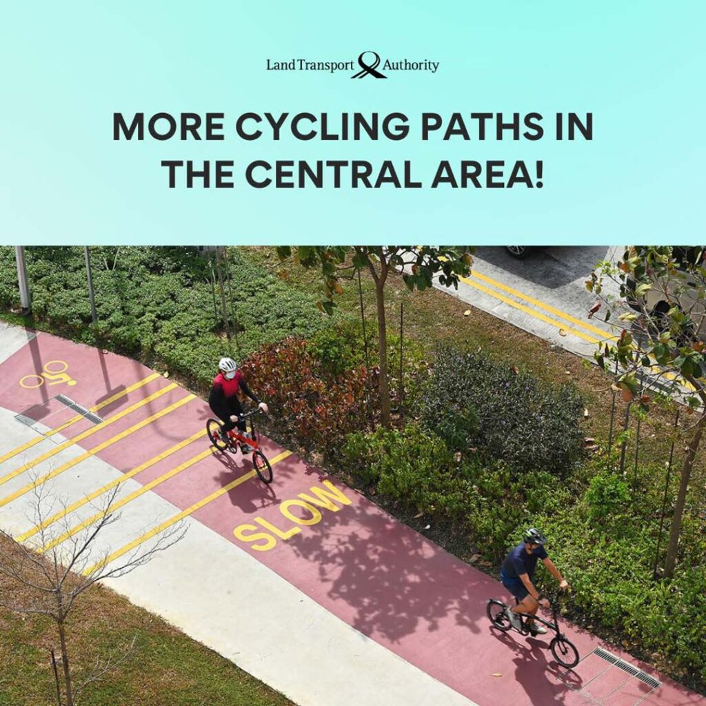
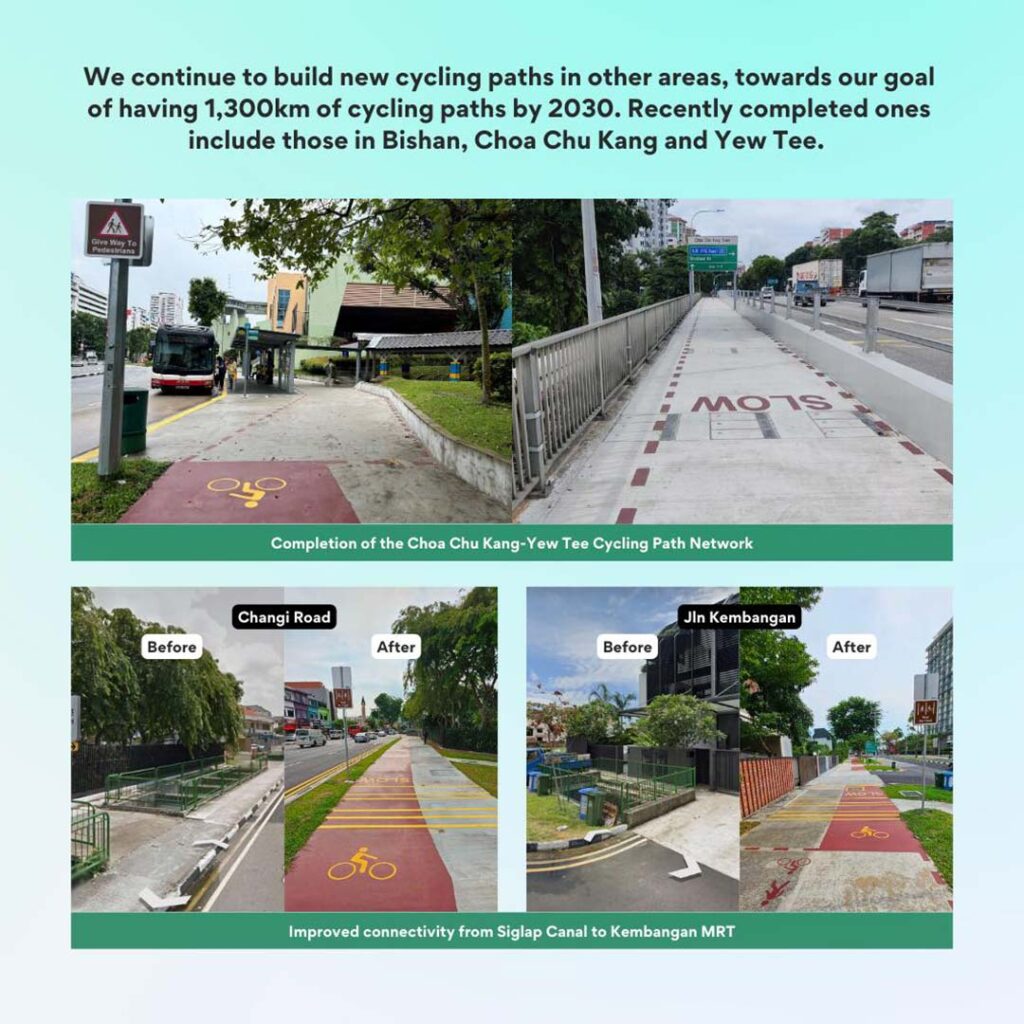
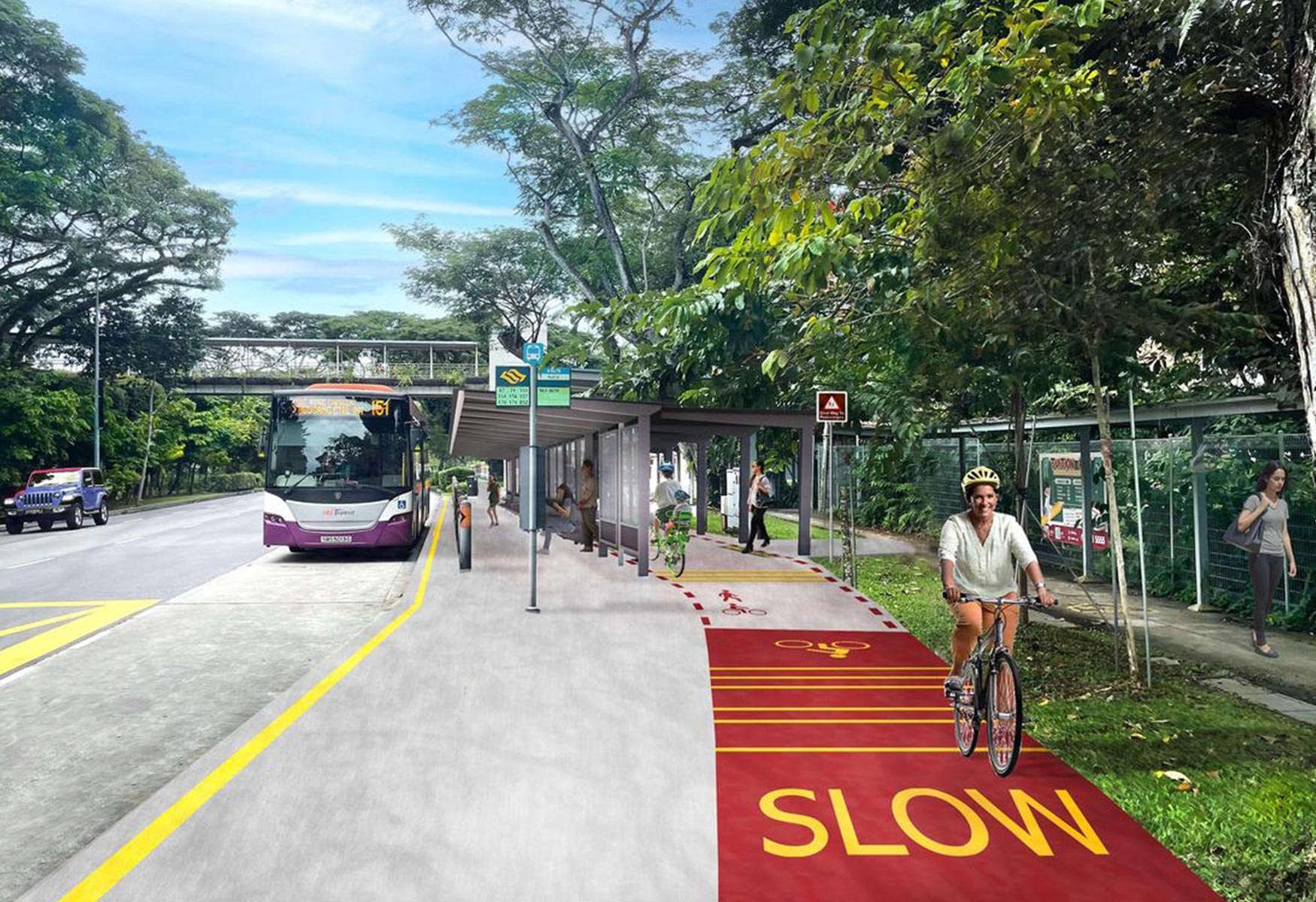
By 2029, cyclists in Bukit Merah, Bukit Timah, Kallang, and the city center can look forward to an additional 60km of cycling paths, thanks to the Land Transport Authority’s (LTA) latest tender. These new paths will include both dedicated and shared routes, with some segments offering shelter from the elements. Shared paths, identified by dotted red lines, will accommodate pedestrians and active mobility users, further enhancing connectivity.
This expansion is part of Singapore’s broader plan to increase the cycling network to 1,300km by 2030, ensuring that 80% of Housing Board residents will live within minutes of a cycling path. Key additions include 23km of paths in Bukit Merah, covering areas such as Jalan Bukit Merah, Tiong Bahru Road, and Telok Blangah Heights. Bukit Timah will see an 11km expansion, featuring new paths along Dunearn Road, Farrer Road, and Bukit Timah Road. The city center will gain 16km of paths, connecting neighborhoods like Orchard, Tanglin, and Raffles Boulevard, while Kallang will add 11km in areas such as Tanjong Rhu and Tessensohn Road.
These developments align with LTA’s efforts to make cycling safer and more accessible, including minimum width requirements for paths and safety measures at high-risk areas. The new paths will connect with existing infrastructure, including the upcoming North-South Corridor, a 21.5km transport route set to open in phases from 2027. Cyclists like undergraduate Ong Jia Cheng welcome these improvements, particularly in areas like Jalan Bukit Merah, where narrow footpaths currently pose safety challenges. However, some gaps in the central cycling network, such as in Chinatown and Bugis, remain a concern for seamless connectivity across the city.


