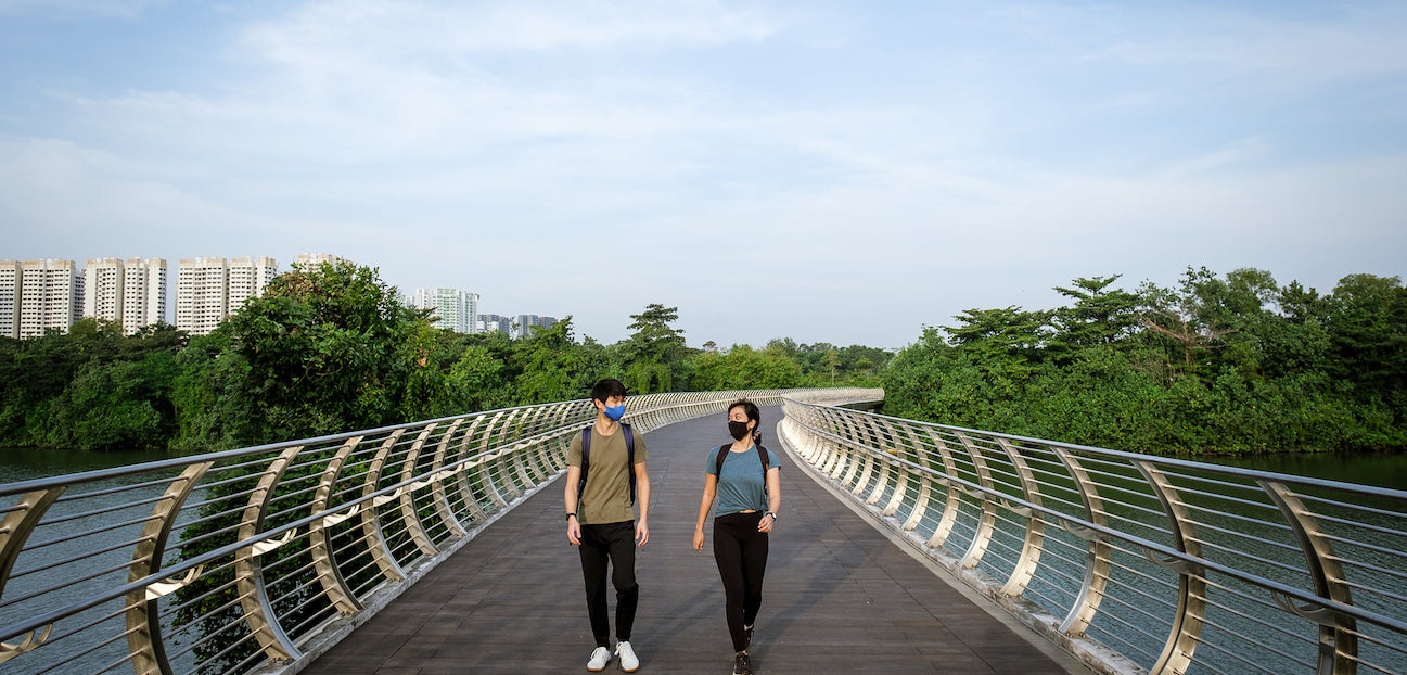
The first phase of the Round Island Route was launched and it is ready for you to explore. Stretching across 75km, it covers the eastern half of Singapore, from Rower’s Bay Park in the north-east, past the Singapore River to Berlayer Creek in the south. It also makes for the island’s longest recreational connection that encircles Singapore in the east. The Round Island Route (RIR), a continuous 150km park connector, is part of NParks’ overall plans to curate a 360km island-wide network of recreational routes comprising park connectors and trails.
Key parks along the route include Rowers’ Bay, Sengkang Riverside Park, Pasir Ris Park, Changi Beach Park and East Coast Park. Be it cycle or hike, hop onto any of these parks to start your journey along the RIR (car parking is available at the parks)!

Check out the cool features along Phase One of RIR including bridges with scenic views, otter holts and picturesque boardwalks that provide sweeping vistas of the sea. Enjoy nature-based recreation in our City in Nature, together with your friends and family with the opening of Phase One of the RIR! Click here for more info on getting on the RIR.


